580 WEST YARMOUTH RD
Owner Information
TSERING DAWA
580 WEST YARMOUTH RD
WEST YARMOUTH, MA 02673


Property Details
580 WEST YARMOUTH RD is classified as a Single Family Residential (Cape cod).
The primary structure on this property was built in 1973. There are 2,658ft2 of built area within this property. There is 1,332ft2 of residential/living space within this property.
580 WEST YARMOUTH RD is valued at $328,500. The land is valued at $118,300 and the structures are valued at $207,500. There is an additional valuation of $2,700 on this property.
The most recent deed for 580 WEST YARMOUTH RD is recorded at the local registrar in Book 33086, Page 45. 580 WEST YARMOUTH RD was last sold on Monday, July 20, 2020 for $10.
Assessment data from fiscal year 2022.
Flood Data
According to the FEMA National Flood Hazard Layer, this property does not appear to be in a flood zone. It may also be in an area not yet reviewed. Nonetheless, confirm this information prior to taking any action.
To view the flood hazards around this property, create a FEMA "Firmette" Map of the area around 580 WEST YARMOUTH RD.
Broadband Internet Providers
| Provider | Type | Bandwidth (mbps) | |
|---|---|---|---|
| Verizon New England Inc. | DSL | 1 | 0 |
| VSAT Systems, LLC. | Satellite | 2 | 1 |
| GCI Communication Corp. | Satellite | 0 | 0 |
| Comcast | Cable | 1000 | 35 |
| HughesNet | Satellite | 25 | 3 |
| Viasat Inc | Satellite | 35 | 3 |
Broadband service provider data from December 2020.
Adjacent Properties
- 574 WEST YARMOUTH RD
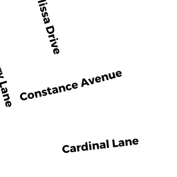
Single Family Residential owned by MARIN ANDRE F - 7 CONSTANCE AVE
Single Family Residential owned by TUCKER PATRICIA E - 586 WEST YARMOUTH RD
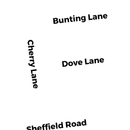
Single Family Residential owned by ODONNELL TANIS - 37 CHERRY LN
Single Family Residential owned by PEREIRA NANCY - 43 CHERRY LN
Single Family Residential owned by CLIFFORD EDWARD W